
We parked the car at the trail head for trail 8, located on a dead end road to the west of the SS17 south of Sulmona and near the exit for Rocca Pia. The same road services the trail head for the hike to Monte Rotella. You can barely make out Valle Gentile on the weather beaten sign.

The trail starts off as a 4x4 road that ascends gently and gradually. We soon passed trail 10 entering from the left and continued on to the intersection with trail 9, which we took up and into the valley. There were some weird things along the way, like "no hunting" signs that had been uprooted and thrown into the bushes, discarded ceramic sinks and bathtubs, charred remnants from large bonfires, and stuff hanging from trees...

Like these chains...
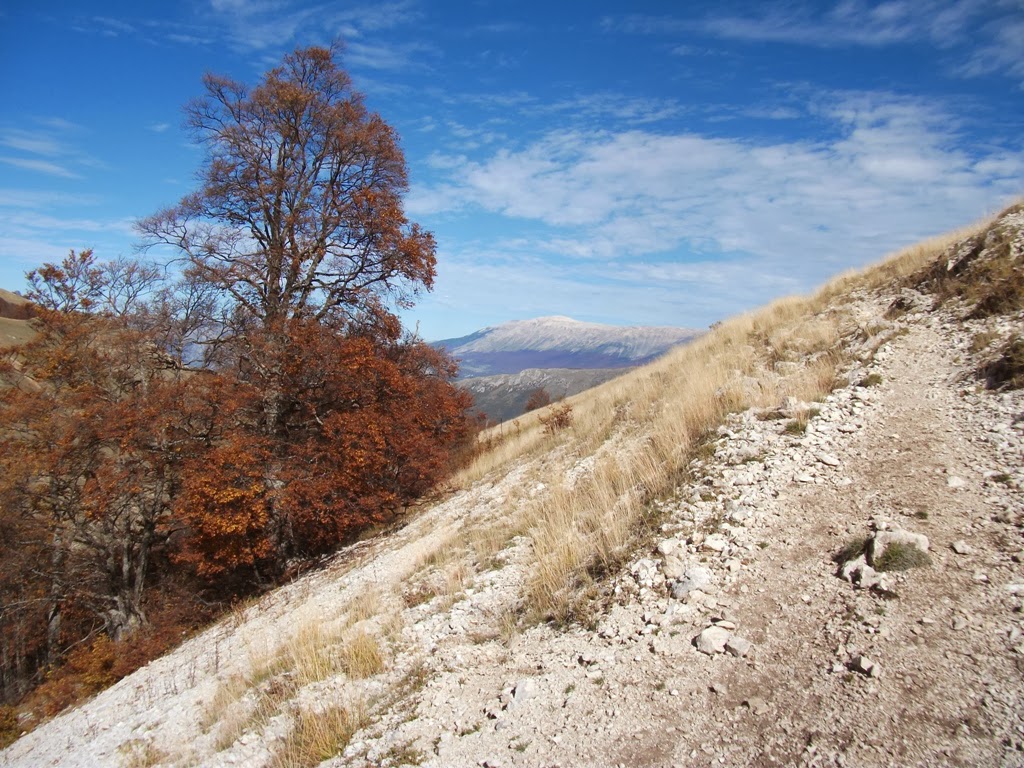
Despite the unsettling features, trail 9 soon became incredibly pleasant as it gained elevation slowly over a moderate grade and alternated between tree-covered sections and open meadows with views of Monte Amaro in the distance. Navigation-wise, the only tricky part came where you must switch back at roughly 90 degrees and onto trail 10, which leads up above the trees and into a wide open meadow...

... And the picturesque Fonte della Spina, our picnic spot for the afternoon. Since it was market day, we had bought along a couple panini di porchetta which we had purchased from our favorite vendor, Porchetta Lucchese, the first thing that morning.

After the fonte, trail 10 becomes very hard to find due to the absence of any blazes. I needed the map and compass to follow what was clearly marked as an official trail on my map of the reserve. Going due east, we soon came to Stazze Le Mandrelle - consisting of a small building and spring - but then needed a while to search around for the return route. The key here is to go towards the lowest point in the meadow northwest of the stazze. Once you reach the lowest point in the meadow and enter into the trees, the trail markers appear.

From here on, trail 10 became well marked and very easy to follow. It descends through the forest the entire way, with a nice section winding through a small gole with tall cliffs on each side. Eventually, it connects with trail 8 - the trail that we came in on - which we took back to the parking area. A great combination of forests and open land with panoramic views covering moderate elevation gain, the valle gentile is definitely on our list for a return visit.
