Saturday, June 27, 2020

Thunder Swamp Trail Northeast, June 26, 2020, Delaware State Forest, Pennsylvania

Looking South from the Bridge over Little Bushkill Creek

We liked the forests of the Thunder Swamp Trail so much that we decided to return in two weeks in order to hike the northeast section of the trail. Starting at Painter Swamp, we determined that we could do a figure eight hike incorporated both the far eastern loop of the Thunder Swamp Trail and another loop north into the Stillwater Natural Area.

We met at the trail head at 7:30 a.m. and were surprised to find a car already there. Fortunately, it turned out to be a fisherman on his way home from an early morning excursion to Painter Swamp, our first landmark on the hike. It's a pretty place. We took the trail that follows the eastern shore.

Painter Swamp
Painter Swamp

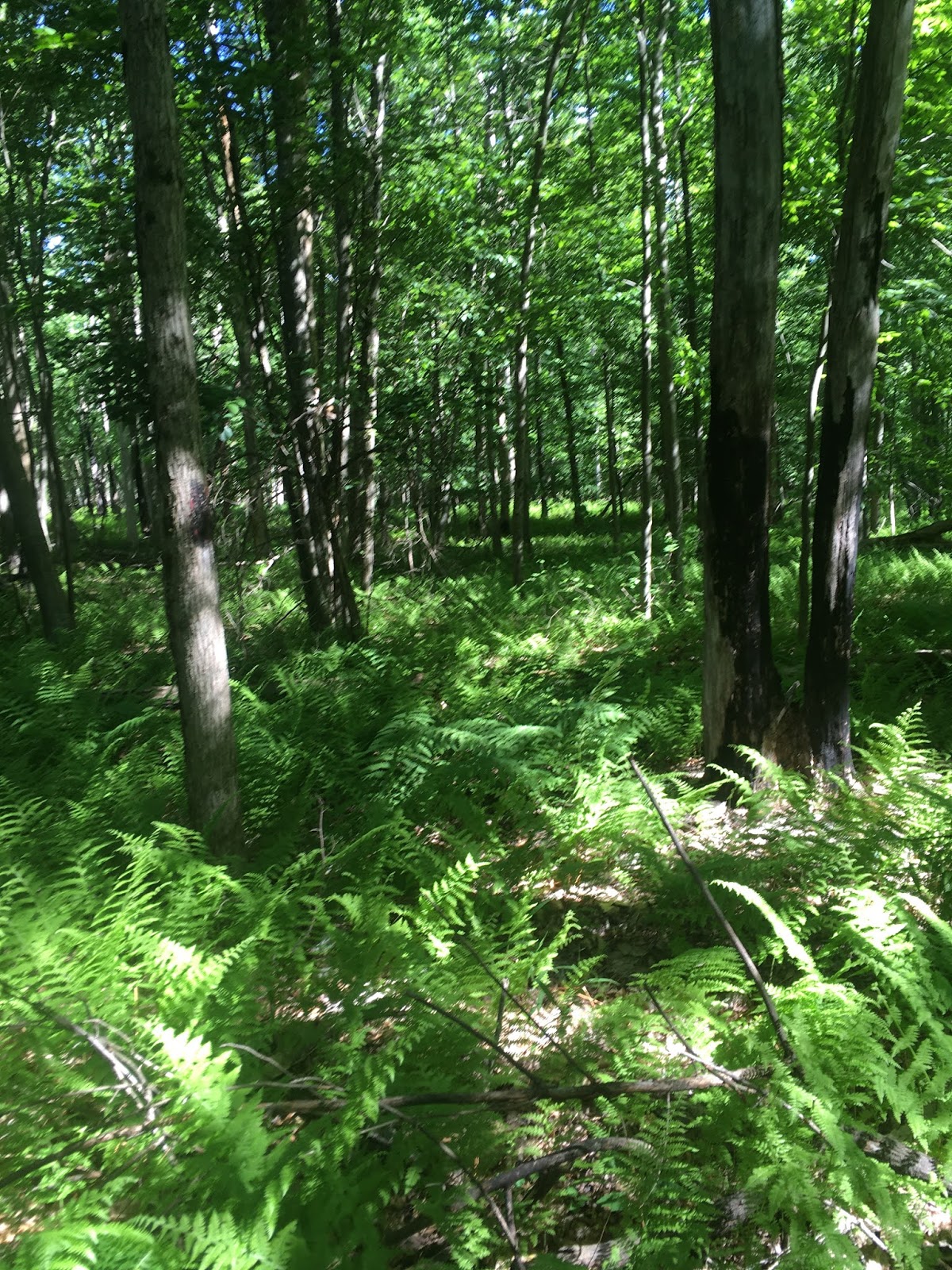
After Painter Swamp, we got on the Thunder Swamp trail and followed it to its eastern most point, where it does a full loop. On the way, the trail crosses Little Bushkill Creek on a nice bridge - a perfect spot for lunch or a long break.

Bridge over Little Bushkill Creek

After the Thunder Swamp loop, we took another loop to the north through the Stillwater Natural Area - a nice section - which brought us out just north of Painter Swamp. We opted for a shortcut long the road and back to the parking area, completing a nice, peaceful 9.2 mile loop. We didn't see anyone the entire day.

Hike: Thunder Swamp Trail (Northeast Section) and Stillwater Natural Area
Distance: 9.2 miles
Route: Figure Eight, Painter Swamp East Trail, Thunder Swamp Trail, Coon Swamp Trail
Conditions: Sunny, 90 degrees F
Notable Flora and Fauna: Porcupine


Sunday, June 14, 2020

Thunder Swamp Trail Northwest, June 13, 2020, Delaware State Forest, Pennsylvania

Zoe Dog Retrieving a Stick in the Open Swamp at the Spruce Run Let Out
As soon as we got back from our hike of Fourth Run, my brother and I started checking the maps to find another location where we could meet up again. A predicted run of cool temps and sunshine expedited our efforts, and we settled on a state forest that neither of us had ever explored - Delaware State Forest, the easternmost in Pennsylvania. It is home to a long, looping trail called Thunder Swamp.

We decided on a 12 mile one way hike of the northwestern section, which would include an internal side loop of the remote Pennel Run Natural Area. We chose a Saturday due to the excellent forecast, but feared that a nice weekend day would mean mobbed trails.

Normally, we'd be on the trail at 5 a.m., but we both needed about 2 hours to drive to the trail head from our respective homes. So the late start of 7 a.m. exacerbated fears of a crowded trail.

We started from the small parking area for Thunder Swamp Trail off Snow Hill Road. It turned out to be a false start. We headed northeast on a very clear track, but soon realized there were no blazes. A quick look at the map and compass led us to realize the trail would probably be due west, and we bushwhacked about a 1/2 mile down a ravine and connected with the real trail easily enough. We turned north on the orange-blazed Thunder Swamp Trail.
Giant Ferns in Pennel Run Natural Area
To the west of Thunder Swamp Trail is the Pennel Run Natural Area and we chose to add that loop trail to our hike because we figured it would be remote and have few people. That turned out to be true... so true that the loop trail was totally overgrown with giant ferns and it took both our efforts - and those of our canine companion - to follow the way by sight and smell. But, sure enough, we had the entire loop all to ourselves.

Back on Thunder Swamp Trail, we found a perfect lunch spot on the edge of a wetlands just north of the trail where it crosses Spruce Run on a bridge for the second time. You can't see the water's edge from the trail, but a short bushwhack along the creek to the north from the bridge takes you right there. It felt more akin to something you'd see in Maine than Pennsylvania. Great place for a break.
Trail Bridge over Spruce Run

After lunch, we made great time with no additional breaks and encountered only two parties of hikers. Once we hit the final stretch on Burnt Mill Trail, however, we had the great misfortune of realizing it is a designated ATV trail... so we ended what was an otherwise great hike with the sound of engines, rather than that of the birds.

Hike: Thunder Swamp Trail (Northwest Section) and Pennel Run Natural Area
Distance: 12 miles
Route: One way (shuttle), Thunder Swamp Trail (from Snow Hill Road), to Pennel Run Connector, south to Hay Road Trail, to Pennel Run Trail, to Hay Road Trail, to Thunder Swamp Trail, to Thunder Swamp Spur, to Burnt Mill Trail
Conditions: Sunny, 80 degrees F
Notable Flora Fauna: Dog ticks and poison ivy

Saturday, June 6, 2020

Fourth Run Loop, Hickory Run State Park, Pennsylvania, Jun 5, 2020


Out of the Culvert, Fourth Run Trail

Since circumstances have not been conducive for vacations to the North Country or even any overnight excursions of any kind, my brother and I decided that we would spend the month of June and July finding hiking locations midway between our two towns. For an inaugural outing, we turned to Tom Thwaites book on hikes in eastern Pennsylvania. In particular, his long circuit hike that he calls the Fourth Run Loop.

We met at the trail head at 7:30 a.m. on a Friday, and were pleased to find the small parking lot empty. Unfortunately, we got off to a poor start with a wrong turn that too us through high, dewy grass. So we lost a half hour and had wet feet for the rest of the day. Back on track, we followed an easy grade through a very pretty forest and had the trail fully to ourselves. As it turned out, that first section of the hike is the best. It was pretty much downhill from there.

On the Trail with Nephew and Brother

The long loop on the Fourth Run Trail actually crosses the Northeast Extension of the Pennsylvania Turnpike at two points. So you start to hear the road noise well before the first crossing, which was kind of interesting because it goes under the highway through a stream-filled culvert. After the culvert, the trail actually connects with a dirt road open to vehicular traffic... not an ideal setting. 

After looping back and under the Turnpike again, the route leaves the dirt road and becomes a trail again. However, it actually runs parallel to the highway and the noise was a real distraction. Finally, we got back to the peace and quiet for another nice stretch before connecting with the final, disappointing section - hiking directly through a campground. Since it was a Friday, there was all sorts of commotion with the yahoos rolling in with their campers. We zipped through and back to the car, happy with the distance covered, but a little disappointed with the overall experience.

Trail: Fourth Run Trail
Distance: 12.4 miles round trip
Elevation Gain: 940 feet
Conditions: Mostly sunny, 90 degrees F